
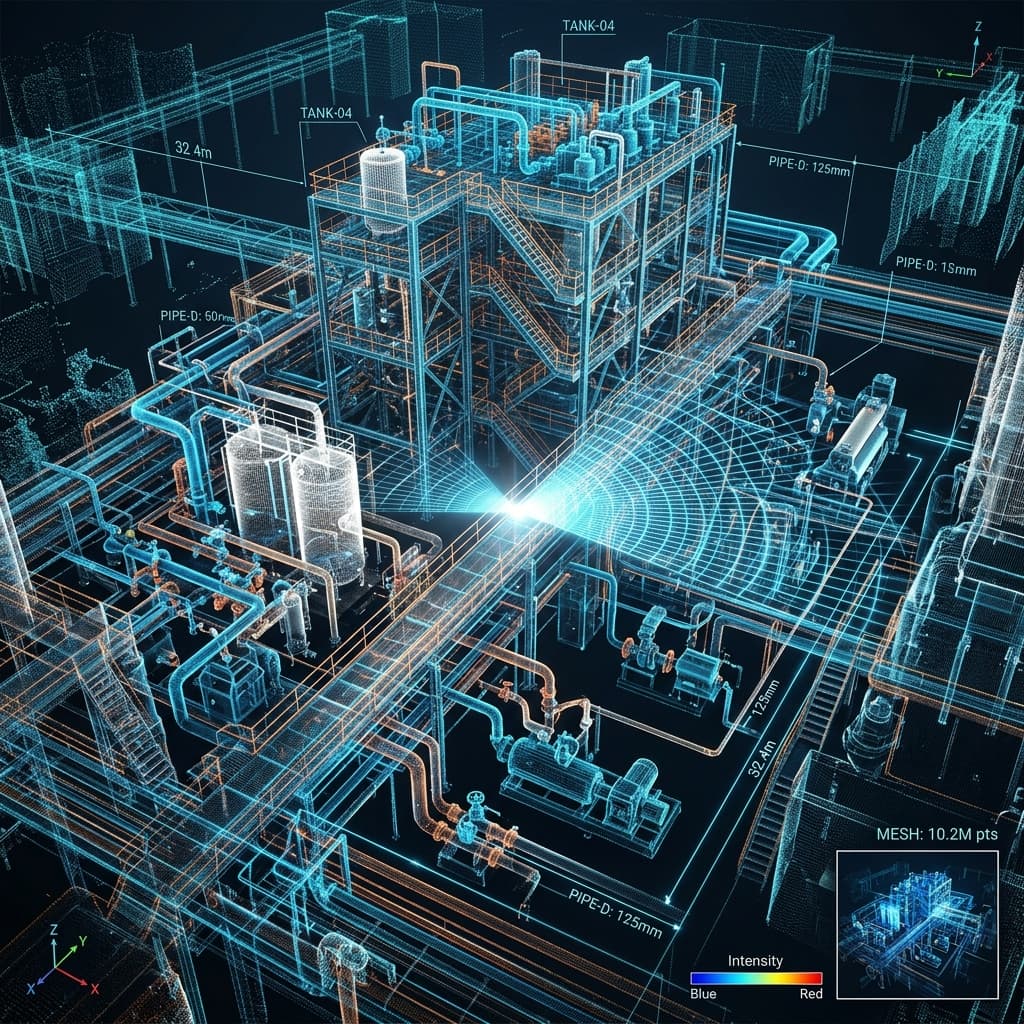
Brownfield plant modifications frequently suffer from outdated 2D drawings and undocumented field modifications, resulting in expensive site clashes and extended crane downtime during turnarounds.
1. Sub-Millimeter Reality Capture
MacProtec utilizes high-precision terrestrial LiDAR scanners and mobile SLAM sensors to digitize congested processing plants:
- Capturing over 2 million spatial coordinates per second with ±1mm accuracy.
- Geo-referencing point clouds to existing plant datum systems and coordinate grids.
- Eliminating manual measurement errors in high-temperature or inaccessible plant elevations.
2. Intelligent As-Built 3D CAD Modeling
Raw spatial point clouds are transformed into parametric 3D CAD models:
- Clash Detection & Clearances: Running clash simulations between proposed new equipment and existing structural steelwork or pipe racks.
- Spool Pre-Fabrication: Generating isometric spool drawings with 100% fit assurance prior to site delivery.
- Equipment Rigging Simulation: Verifying crane lifting paths and clearance envelopes during heavy equipment placement.
3. Measurable Plant Revamp ROI
- Site Rework: Reduced piping and structural field modifications by 94%.
- Downtime Savings: Shaved 11 days off critical-path shutdown turnaround schedules.
- Safety Assurance: Minimized scaffolding requirements and personnel exposure in elevated plant zones.