
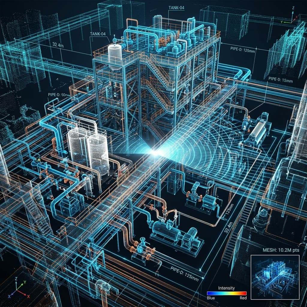
3D Laser Scanning & Reverse Engineering
Capture accurate digital representations of industrial facilities to support retrofit engineering, point cloud to CAD modeling, reverse engineering, wear analysis, and brownfield plant modernization.
Capture Reality. Engineer with Precision.
Industrial facilities continuously evolve through equipment upgrades, maintenance activities, and plant expansions, often resulting in existing plant conditions that differ significantly from original engineering drawings. These discrepancies can create challenges during retrofit projects, equipment replacement, plant modernization, and maintenance planning, increasing engineering risks, project delays, and construction costs.
At MACPROTEC, we provide comprehensive 3D Laser Scanning & Reverse Engineering services that transform existing industrial facilities into accurate digital engineering assets. Using advanced laser scanning technology and engineering expertise, we capture precise plant data and convert it into intelligent point clouds, CAD models, engineering drawings, and as-built documentation. Our solutions support retrofit engineering, brownfield modifications, digital twin development, fabrication, and asset management, enabling clients to execute projects with greater accuracy, reduced risk, and improved engineering efficiency.
Reality Capture & Digital Asset Capabilities
Explore our digital engineering solutions designed to accurately capture existing facilities, develop intelligent engineering models, and support retrofit, modernization, and asset management projects. Select any service below to review its engineering approach, deliverables, and key benefits.
3D Laser Scanning
"High-Precision Terrestrial Reality Capture & Digital Site Documentation"
Accurate engineering begins with accurate site information. In many industrial facilities, existing conditions differ significantly from original design documents due to years of modifications, equipment replacements, and plant expansions. Traditional field measurements are often time-consuming, disruptive, and prone to inaccuracies, increasing engineering risks during retrofit, maintenance, and modernization projects. 3D Laser Scanning provides a fast, non-intrusive, and highly accurate method of capturing existing plant conditions, creating a precise digital representation of industrial assets.
- 1Project Planning & Site Assessment
- 2High-Precision Laser Data Acquisition
- 3Point Cloud Registration & Quality Verification
- 4Point Cloud Processing & Optimization
- 5Digital Data Validation
- 6Engineering Data Delivery
- Registered Point Cloud Data
- Colorized 3D Point Cloud Model
- Scan Quality Verification Report
- Engineering Coordinate System
- Section Views & Elevations
- Scan Data for CAD/BIM Integration
- Digital Site Documentation
- Engineering Data Archive
- Technical Documentation
- Project Support & Consultation
- Capture existing facilities with millimeter-level accuracy
- Eliminate costly manual measurements and repeated site visits
- Reduce engineering uncertainties during retrofit and expansion projects
- Accelerate engineering design and project execution
- Improve multidisciplinary project coordination
- Create a reliable digital record of plant assets
- Support future digital engineering and asset management initiatives
- Minimize project risks, rework, and construction delays
3D Laser Scanning
Capture industrial facilities, equipment, and infrastructure with high-precision laser scanning to create accurate digital representations for engineering, maintenance, and modernization projects.
Point Cloud to CAD Modeling
Transform laser scan data into accurate 2D drawings and intelligent 3D CAD models for engineering design, documentation, and project execution.
Reverse Engineering
Recreate equipment, components, and plant systems into detailed engineering models when original design documentation is unavailable or outdated.
Wear & Deformation Analysis
Assess wear, distortion, and dimensional deviations to support maintenance planning, structural integrity assessments, and equipment life extension.
Retrofit Engineering
Support plant modifications, equipment upgrades, and brownfield expansion projects using precise digital models of existing facilities.
Why Choose MACPROTEC for 3D Laser Scanning & Reverse Engineering?
We combine terrestrial reality capture with multidisciplinary process and mechanical engineering design to deliver accurate as-built assets with zero site clashes.
Reality Capture with Engineering Precision
Millimeter-level laser scanning data coupled with deep multidisciplinary engineering expertise.
Comprehensive Digital Engineering Workflow
Seamless transition from raw point clouds to intelligent 3D CAD, BIM, and digital twin models.
Brownfield & Retrofit Expertise
Proven track record in solving complex spatial constraints, clash detection, and brownfield integrations.
Engineering-Ready Digital Deliverables
High-quality, construction-ready CAD files, MTOs, P&IDs, and as-built documentation.
Reduced Project Risk & Improved Accuracy
Elimination of costly site re-visits, manual measurement errors, and site clash rework.
Intelligent Asset Management
Enabling long-term digital transformation and predictive maintenance through accurate digital twins.
Let's Discuss Your Laser Scanning & Retrofit Needs
Connect with MACPROTEC digital engineering specialists to plan terrestrial 3D laser scanning, point cloud to CAD modeling, reverse engineering, or brownfield retrofit projects.